Thursday September 9
We're on the road to Judea
Christchurch! We certainly do get around...
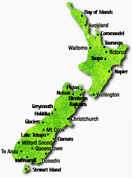
Today we leave Queenstown and move our center of operations to Christchurch, which is on the northeastern part of the Southern Island. See the map from the New Zealand tourist commission:
We board a motor coach for a trip is "an exceptional journey from Queenstown to Mount Cook via the Lindis Pass and then down the Southern Alps to the Canterbury Plains and Christchurch." Much of LoTR was filmed along this route. Should be fantastic.
On arrival in Christchurch we go to the Holiday Inn Christchurch, 356 Oxford Terrace.
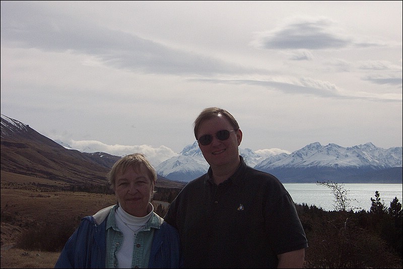
Today was an amazing day too. The trip we took today gets us from Queenstown to Christchurch via another bus trip, this time going up the center of the south island, and up to Mount Cook, the tallest mountain in New Zealand (approx 12000 feet).
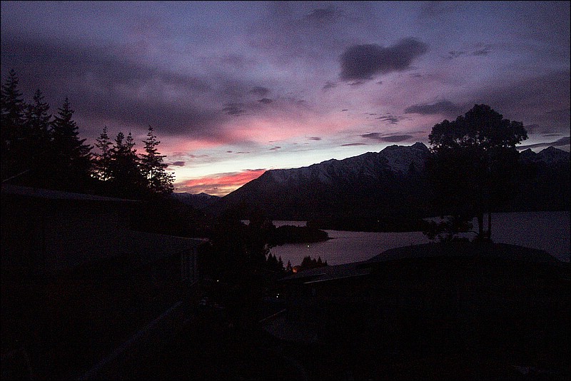
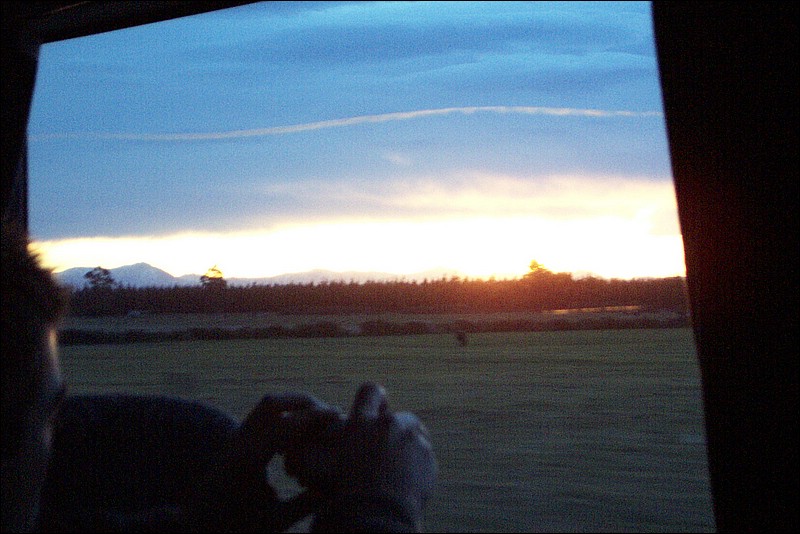
The day started with another early dawn -
And then we had to say goodbye to Jen, but we'll see her in Sydney soon.
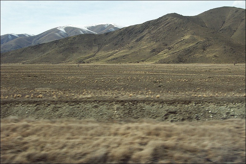
This trip took us through a lot of other kinds of land, lots of the livestock farming areas, and some areas that have problems with irrigation. Here is some of the land being used for sheep farming - kind of dry and dusty.
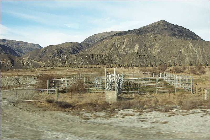
Some of the land is really rocky and harsh, not even good for sheep.
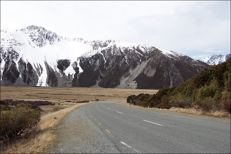
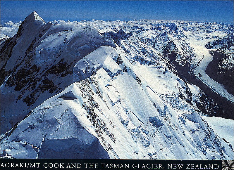
We progressed north along routes 6 and 8, through Cromwell, Omarama, Twizel, and then up to route 80 toward Mount Cook. Because the weather was changing fast, we stopped at a lookout point to get some shots from afar. Below are several shots of Mount Cook and others in that mountain range.
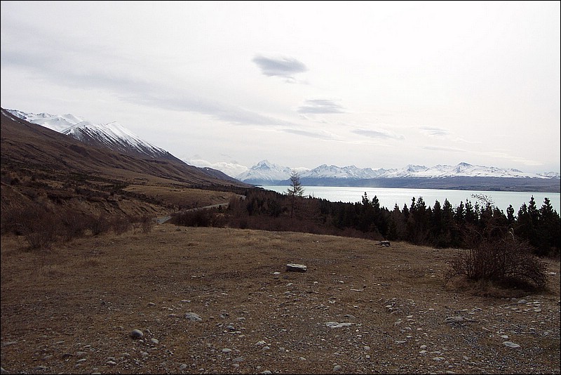
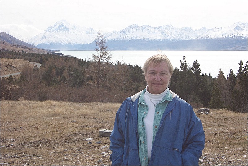
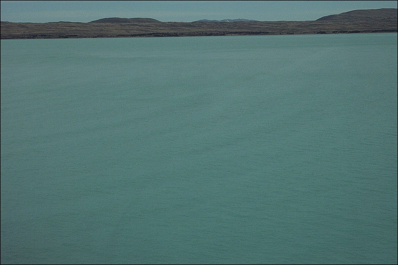
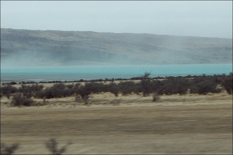
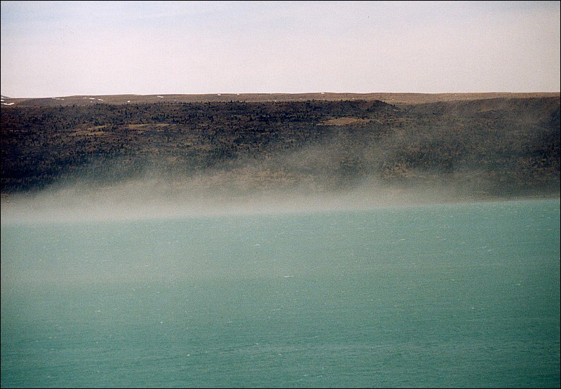
One interesting thing about the Mount Cook area is that there are several glaciers in the area, that melt and end up in Lake Pukaki. Note the color of Lake Pukaki in the below photo - it's actually almost a funky fluorescent turquoise, and that turns out to be from very finely ground up rocks that end up in the lake in a form known as "glacial flour". The rock minerals make the light react with the flour and turns the water a milky blue.
Our end stop of the Mount Cook leg was a hotel built overlooking Mount Cook and other mountains. We had a terrific lunch in their restaurant, then went out to check out the scene. Here's a pretty good shot of the view.
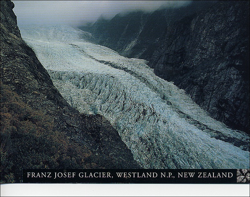
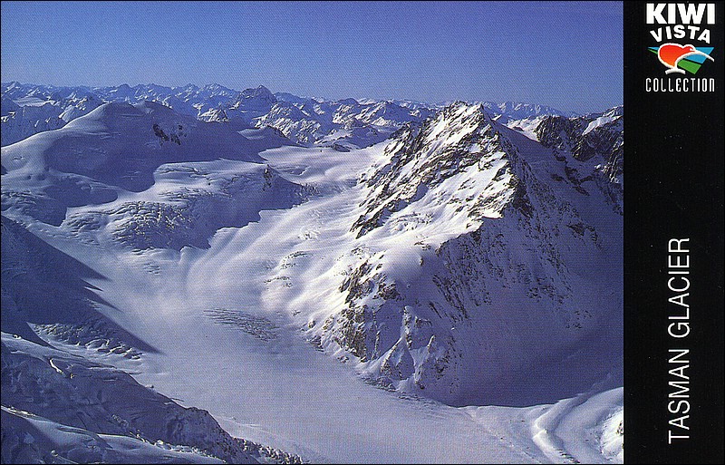
We had actually planned to take a scenic flight and LAND on the Tasman Glacier, but the wind was too strong today so they couldn't fly. But we did get to see the glacier as we drove by - it's a river of ice pushing down through the valley. Amazing! We got some decent photos with the long lens film camera, but here's some postcard pix of the glacier for your viewing enjoyment-
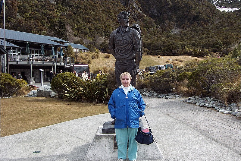
Here's Mom with her buddy Sir Edmund Hillary, who dedicated this statue of himself in 2003.
On the way back, the wind picked up and started blowing some of the glacial flour off the river bed and into the lake, demonstrating how this process works.
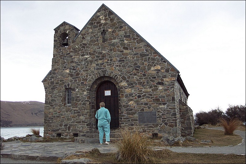
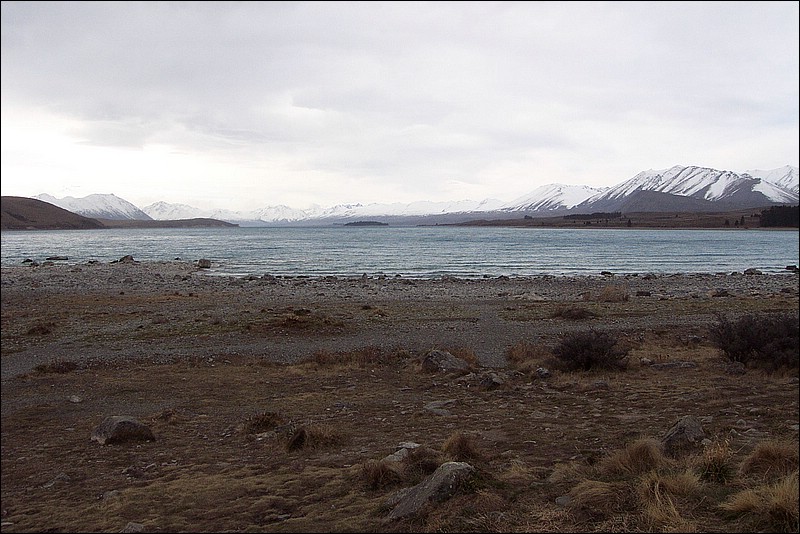
On the continuing road to Christchurch, we stopped at the Church of the Good Shepherd in Lake Tekapo. It's a small, cute facility, even down to the little buttresses on the side. But it is the functional church for the area, and it has a fantastic view of the lake, seen below.
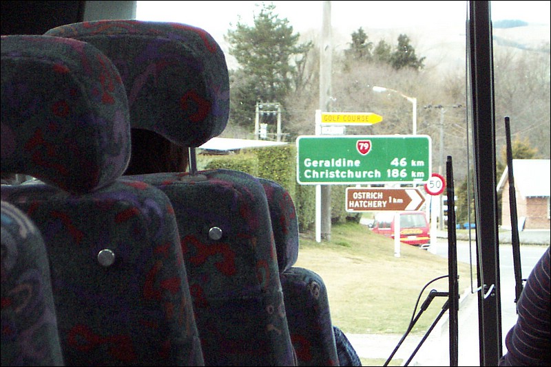
We had to make a few stops on the way, and while we were stopped in Fairlie, I took this photo of something you wouldn't see a sign for in the states - an Ostrich Hatchery. You know you're Down Under when that's something that has a road sign...
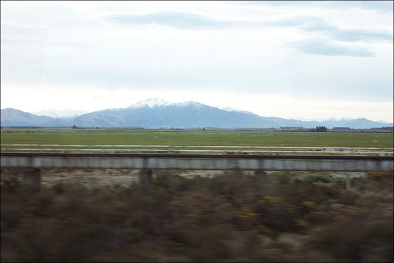
Further along, as we got over some mountain passes, the land changes dramatically. Much less mountainous and becoming more green plains, suitable for agriculture. This part of the south island is called the "Canterbury Plains".
As we pull into Christchurch we say goodbye to another long day, but one filled with lots of amazing memories.
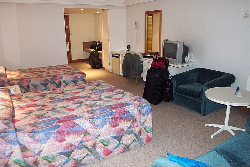
And a really nice room for a change...